

Munro Bagging

Description of Munro Bagging
Munro Bagging is an application that allows you to browse through all of the significant hills in Britain, including the Munros, the Murdos, the Grahams, Marilyns and Corbetts.
As well as providing information on each hill (useful for walk planning), you can record notes from when you climbed it.
Features:
- Search for hills by name
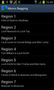
- List hills by name, height or region
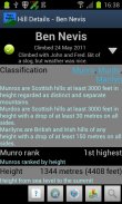
- See information on hills' classification, height, prominence, location, summit features and useful Ordnance Survey maps
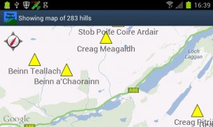
- View hill location on a map, either individually or all together
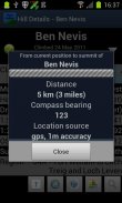
- Get bearing and distance from the phone's current location to the hill summit
- Audio pronunciations of hill names, via the optional Munro Bagging Sounds extension application
Features to come:
- Import/export climb notes to file, to allow migration between phones
- Integration with photo albums
- Social media integration ("share my climb")
Uses data from the Database of British and Irish Hills (<a href="https://www.google.com/url?q=https://www.google.com/url?q%3Dhttp://www.hills-database.co.uk/%26sa%3DD%26usg%3DAFQjCNF5WWSxNsuEG8kmL2Q-f1gsadAJEA&sa=D&usg=AFQjCNHS1qF4GFX0vmksxt-RDOdc7g7A6Q" target="_blank">http://www.hills-database.co.uk/</a>), licensed under Creative Commons 3.0.
Audio clips supplied by and used with kind permission of Comunn na Gàidhlig (CnaG) (<a href="https://www.google.com/url?q=https://www.google.com/url?q%3Dhttp://www.cnag.org.uk/%26sa%3DD%26usg%3DAFQjCNGXmnIk-wTCvGOwlklmmfvgxI20Jw&sa=D&usg=AFQjCNFOeR-ZRMwLFdmOOdZnc0j-Cb6-iA" target="_blank">http://www.cnag.org.uk/</a>)
</br></br></br>
</br></br></br></br></br></br>


